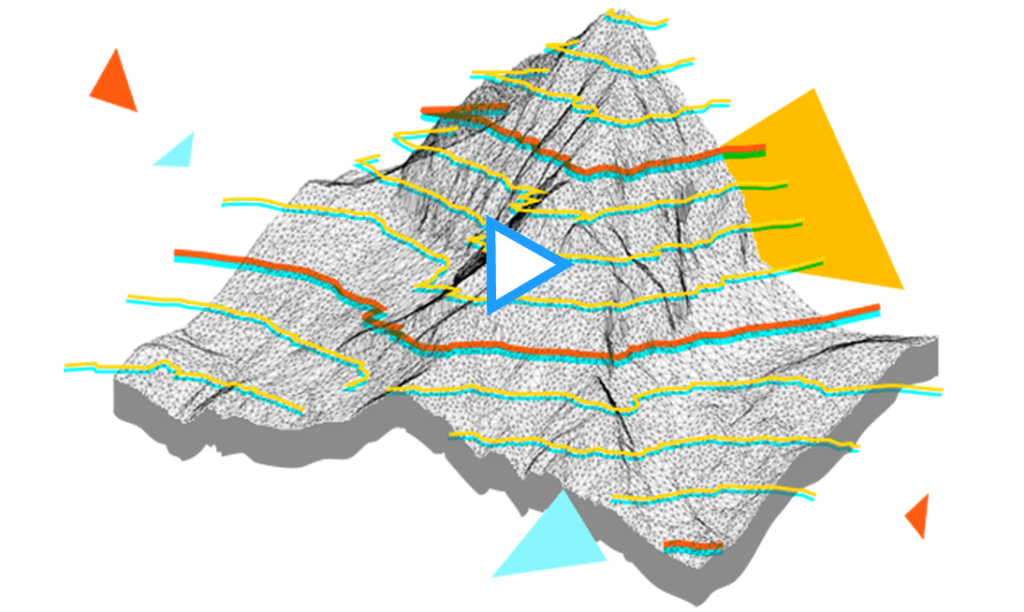

Topoplan – a digital terrain modeling tool
โมดูล Topoplan ของ nanoCAD ขยายแพลตฟอร์ม nanoCAD ด้วยเครื่องมือสำหรับการสร้างแบบจำลองภูมิประเทศแบบดิจิทัลและการจัดทำเอกสาร ได้รับการออกแบบมาเพื่อให้การทำงานของนักสำรวจมีประสิทธิภาพมากขึ้น
New in Topoplan
- Adding a Group of Points
- Combining Surfaces
- Recalculation of Coordinates
- Creating Geopoints by Interpolation
- Mesh Simplification
- Deleting and Array of Surface Points
- Adding Structural Lines
- New Surface Type
- Surface Difference
- NEW COMMAND FOR PROJECTING OBJECTS ON A SURFACE
- SETTING ATTRIBUTES WHEN IMPORTING GEOPOINTS
- COPYING COLUMN DATA
- UNDERLAY TYPE STORAGE
- CONVERSION PRECISION ADJUSTMENT
- Creating Label and Marker Styles of Geopoints
- User-Defined Properties of Geopoints